The American Water Resources Association Washington Section
presents:
AWRA-WA Virtual Dinner Meeting--
A Tale of Two Hydrographs: The Role of Managed Aquifer Recharge in the Yakima Basin Integrated Plan
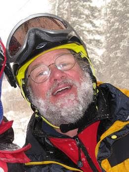
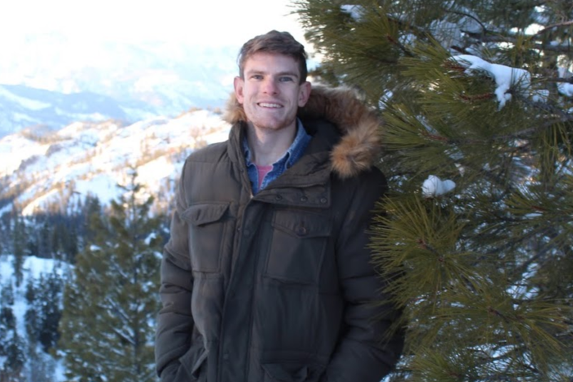
Speakers: Tom Ring, former Hydrogeologist for the Yakama Nation and Silas Sleeper, Hydrogeology graduate student at Central Washington University
Thursday, June 11th, 2020
6:00 PM to 7:00 PM
VIRTUAL MEETING!!! You must register by Wednesday, June 10th.
You will receive a link to participate via our webinar service the day before the event.
Thank you to Green Economics for sponsoring the technology of this event!

Abstract: Managed Aquifer Recharge is one of the seven components of the Yakima Basin Integrated Plan (YBIP). This talk includes a brief introduction to the Yakima basin followed by Silas Sleeper’s research on hydrogeochemical suitability for managed aquifer recharge at several sites.
The Yakima River basin has a snowmelt dominated hydrograph. Historically spring snowmelt runoff from the Cascades was processed through mountain lakes, complex gravel-bed stream channel networks, and vast alluvial floodplains. Interactions between streams and floodplains and surface water and groundwater moderated seasonal runoff, sustained streamflows during the hot, dry summer season, and provided complex, food-rich, thermally moderated habitats for a wide variety of cold water fishes and other components of the aquatic food web.
Beginning in the mid-19th century, irrigation development dewatered and blocked stream reaches. Dikes, railroads, and highways eliminated much floodplain function and habitat. As irrigation demand exceeded supply and dewatered the lower Yakima River, the Bureau of Reclamation constructed five storage reservoirs with about 1.1 million acre feet of active storage. Storage, release, and diversion of irrigation water inverted the timing of runoff in most of the upper basin, reducing spring outmigration flows for anadromous fish and artificially increasing summer flows in some reaches as water is released for downstream irrigation, while causing sustained low summer flows in the lower half of the river downstream of most major diversions. The storage dams were built without fish passage, resulting in the local extinction of Sockeye salmon in the basin. Overall salmon runs declined on the order of 99% from historic numbers.
To address these problems, a collaboration of government and non-governmental interests developed the Yakima Basin Integrated Plan with has seven components designed to improve habitat and passage for cold water fishes and provide additional water supply for instream and out of stream uses. The managed aquifer recharge component is intended to complement expanded reservoir storage to provide additional water supply. The idea is to divert water during high winter-spring flows and store that water in the subsurface for use during the summer months for irrigation or to increase stream flows and decrease stream water temperatures.
A main challenge associated with groundwater storage is determining the fate of the recharged water. In this project we analyzed major ions and stable isotopes of surface waters and groundwaters for three study areas (near Roslyn coal mines, Kittitas Valley and Moxee Valley) to gain insight into water-rock interactions, relative residence times, recharge regimes and groundwater/surface water interactions. We found that irrigation water generally had heavier isotopic values (δD > -115) and higher nitrogen concentrations when compared to naturally recharged groundwater. This allowed us to identify which aquifers were dominantly recharged by irrigation water versus aquifers that are recharged naturally (typically by snowmelt). Using our geochemical data, combined with known hydrogeologic units and structures we created conceptual models of groundwater relationships at each site. Additionally, we identified potential shallow aquifer recharge sites that have deep surficial aquifers overlain by large vadose zones. These conceptual models and identified locations can be used to inform future management decisions regarding groundwater storage.
Bio: Tom Ring – Tom worked as a hydrogeologist with the Water Resources Program of the Yakama Nation from 1990 until his retirement in 2019. In that role, he worked on a variety of projects involving groundwater and surface water quantity and quality, water rights, irrigation and fisheries issues and planning for future water needs. Previously he worked for the Water Resources Program at the Washington Department of Ecology. Tom has Bachelors and Masters of Science degrees in geology from Central Washington University and Northern Arizona University respectively. He has taught geology and hydrogeology classes at Central Washington University and is a licensed geologist and hydrogeologist in Washington State. When not working, he enjoys hiking, climbing, and skiing in the mountains of the west.

Silas Sleeper - Silas is a graduate student at CWU in Geological Sciences with a focus on Hydrogeology.
He completed his undergraduate with a B.S. in Water Resources from SUNY Oneonta.

Fees
Free for EVERYONE!!!
Thank you for continuing to support the Washington Section of AWRA during this unprecedented event. To the best of our ability, we will continue to help you learn about water resources issues and connect with other members. Thank you for staying home and staying safe and we look forward to seeing everyone in person when it's safe to do so!